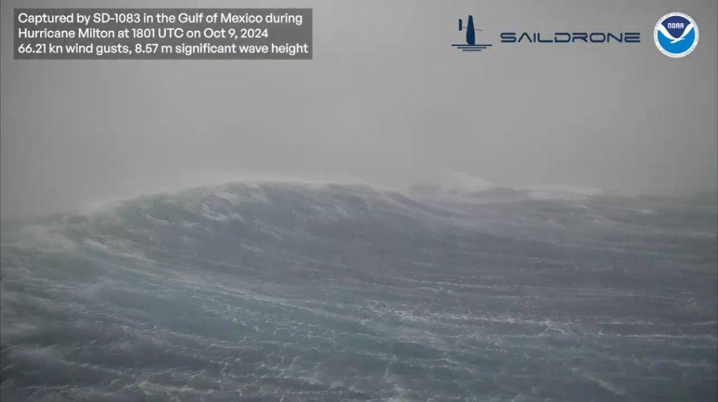
Ok. Seems like great data. Is there any other use inputs? Any comparisons of storms? Or, is it too new?
Saildrones aren’t intended as a hurricane monitoring platform. The marine work I am most aware of them used for is multibeaming the seafloor, so my reaction as a seafarer on a research vessel is, “it survived?!?!?” (Also which model?). That’s a sea state 7 and Beaufort of 9.
Which should answer your question that yes, there are not much in the way of other data points like this. There might be some other NOAA floats, buoys, and some vessels with weather station data which can report, but having an unscrewed vessel like Saildrone is just starting to be used. Marine research doesn’t have the military budgets to just throw things at storms.
This is why Lemmy is neat. :)
Ty
Please add metric dear "earth"science.

The video used knots and meters. So 66.21 kn and 8.57m.
You can be the inventor of the ‘nautical kilometer’. Now’s your time to shine.


